stud
bud
Sign up
Log in
Home
Library
Explore
SAT
More
Ch 2 A Spatial Way of Thinking Flashcards | StudBud
Explore
/
Ch 2 A Spatial Way of Thinking
Ch 2 A Spatial Way of Thinking
21 terms
·
StudBud Administration
·
7,570 plays
Imported from external platform
Flashcards
21 cards
F
Practice quiz
P
Host live
L
Questions
21
Answers
1
Identify the kind of information shown on this map of North Africa?
vegetation zones
population density
climate zones
economic activity
2
Which physical feature is the red Question Mark "?" pointing at?
plateau
mountain
isthmus
volcano
3
Which physical feature is the red Question Mark "?" sitting on?
river
gulf
peninsula
lake
4
Which of the following will you find on physical features map?
trees & other plants
trade & manufacturing
temperature & precipitation
landforms & water bodies
5
Which physical feature is the red Question Mark "?" pointing at?
delta
strait
isthmus
plateau
6
Which map shows how crowded a country is?
economic activity map
climate map
physical features map
population density map
7
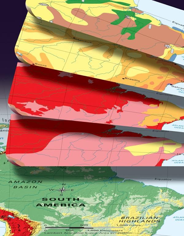
What is an area that has similar characteristics such as Latin America?
resource
place
region
climate
8
Which physical feature is the red Question Mark "?" pointing at?
delta
mountain
peninsula
canyon
9
Using the latitude & longitude lines, what is the location of Sydney, Australia?
34°S, 151°E
1°S, 37°E
19°N, 72°E
20°N, 100°W
10
Which means the pattern of weather over a long period of time?
precipitation
climate
weather
temperature
11
What are coal, iron, uranium, and petroleum?
economic activity
land uses
vegetation
natural resources
12
Using the latitude & longitude lines, what is the location of Nairobi, Kenya?
1°S, 37°E
19°N, 72°E
20°N, 100°W
34°S, 151°E
13
Which physical feature is the red Question Mark "?" pointing at?
basin
gulf
lake
river
14
Which physical feature is the red Question Mark "?" sitting on?
plateau
volcano
canyon
mountain
15
Which physical feature is the red Question Mark "?" sitting on?
plateau
basin
island
peninsula
16
Which physical feature is the red Question Mark "?" pointing at?
river
isthmus
volcano
delta
17
Identify the kind of information about Nome, Alaska shown on this graph.
vegetation zones
physical features
climate patterns
economic activity
18
Using the latitude & longitude lines, what is the location of Mumbai, India?
1°S, 37°E
34°S, 151°E
19°N, 72°E
20°N, 100°W
19
Which type of information is found on an economic activity map?
how high mountains are
what type of climate it has
how its people make a living
where its people live
20
Using the latitude & longitude lines, what is the location of Mexico City, Mexico?
34°S, 151°E
19°N, 72°E
1°S, 37°E
20°N, 100°W
21
Why does the photo represents human-environment interaction?
The child is wearing warm clothing in the cold weather.
The child's clothing is bought from a regional store.
The child is smiling & happy to play in the snow.
The child's lives near a northern, arctic region.